
Imagine having a map that doesn't just show you where to go but helps you plan, manage, and even predict the best way to navigate a campus as dynamic as UMD's. Thanks to FM’s Enterprise GIS team, the UMD campus map is more than just a set of directions—it's a powerful tool that integrates data from multiple sources to transform how the university operates. From streamlining daily navigation to supporting large-scale planning efforts, this cutting-edge GIS platform has become an essential resource for students, staff, and administrators.
The Evolution of the Campus Map
What began as a simple tool to help the UMD community find their way around campus has grown into a sophisticated platform that connects people, places, and resources like never before. The online campus map launched in 2013, and quickly adapted to changing technology, adding smartphone compatibility..
Early features focused on essentials like campus buildings, emergency telephone locations, bike racks, and parking lots. Over time, the map has expanded to include a wealth of resources tailored to the needs of the campus community: dining services, sustainability resources, accessibility details for pedestrians, and more.
Today, the UMD campus map offers interactive popups and customizable layers that showcase recycling stations, campus gardens, outdoor art installations, scooter parking, road and sidewalk construction updates, and more. The ever-growing campus GIS platform also features story maps—immersive tools that combine text, images, and multimedia to provide a deeper understanding of specific topics. Popular examples include the UMD Ghost Tour, the UMD Cherry Tree Blossoms Map, and the McKeldin Library Map Collection (this particular story map was created by the Libraries Center for GIS).
Beyond the Campus Map: Comprehensive GIS Services
The online campus map is just the tip of the iceberg when it comes to the innovative work of FM’s Enterprise GIS team. Behind the scenes, their spatial data, analysis, and visualization services power projects that enhance campus safety, improve operational efficiency, and support nearly every department at UMD. Here are just a few of the ways GIS is making a difference:
- Enhanced Safety Measures: In partnership with UMD’s Police Department, GIS has mapped lockable classrooms and emergency resources, creating tools that improve preparedness and response during safety scenarios.
- Comfort and Energy Efficiency: The Brendan Iribe Center for Computer Science and Engineering was the first building to benefit from a prototype GIS-driven human comfort index viewer application, which displays logged temperature variations in classrooms and offices to refine HVAC performance and create a more comfortable environment for occupants.
- Fleet Electrification: GIS is playing a critical role in UMD’s transition to an electric vehicle fleet. By analyzing GPS tracking and location data, the team assists in identifying the best locations for EV charging stations to optimize efficiency and coverage.
- Transportation Innovation: GIS supports UMD’s Department of Transportation Services by integrating ShuttleUM and WMATA bus stop arrival information into the campus map, making it easier for the community to navigate public transit options.
- Efficient Snow Response: During winter storms, FM’s Snow Command Center relies on GIS to track reported service tickets and geotagged equipment across the campus in real-time. This allows them to identify the closest resources to problem areas and dispatch help quickly, minimizing delays and hazards.
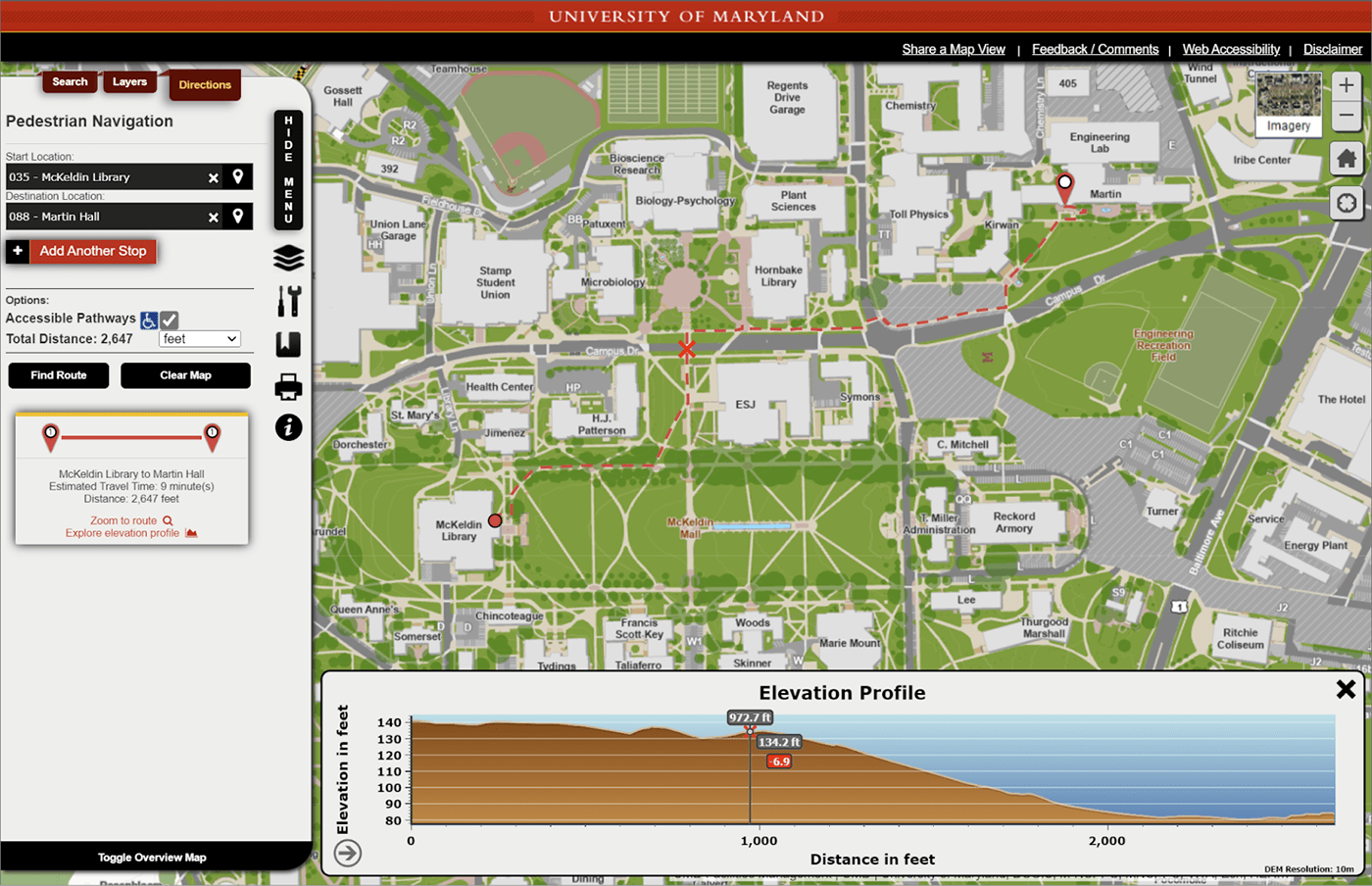
- Accessible Navigation: GIS maintains a dynamic pedestrian routing network, which is featured in the public campus map, that accounts for construction changes and temporary detours, ensuring accessibility for all campus users.
- Academic Collaboration: In partnership with UMD’s Department of Geographical Sciences, the GIS team provides valuable hands-on experience to student interns, fostering the next generation of spatial data experts in a forward-thinking environment. In the over 10 years of the Campus GIS Internship Program, FM has mentored over 100 undergraduate interns.
GIS Moves Indoors at McKeldin Library
Imagine navigating complex indoor spaces with the same ease as finding your way across campus—that’s the promise of indoor GIS technology. At McKeldin Library, a pilot project using the ArcGIS Indoors platform is demonstrating how this innovation can enhance both convenience and safety. Indoor GIS systems create and manage floor plan data and share floor-aware maps and services for use in web and mobile apps allowing students to find the closest printer or scanner, quiet study spaces, and even pinpoint the exact shelf for a book they are searching for. The technology can also support critical safety applications, such as guiding emergency crews to fire alarm panels and utility shutoff valves. More than 200 Bluetooth beacons to provide indoor location on users’ smartphones have been installed on three floors to initiate this pilot program.
The work of FM’s GIS team demonstrates how data-driven innovation can enhance nearly every aspect of campus life. From the first interactive campus map to cutting-edge indoor navigation and safety tools, GIS has transformed how the UMD community connects with its environment. This ever-expanding platform continues to evolve, addressing the unique challenges and priorities of a dynamic university. With their collaborative approach and forward-thinking vision, the GIS team is poised to shape the next generation of campus solutions, ensuring UMD remains a leader in operational excellence and accessibility.