
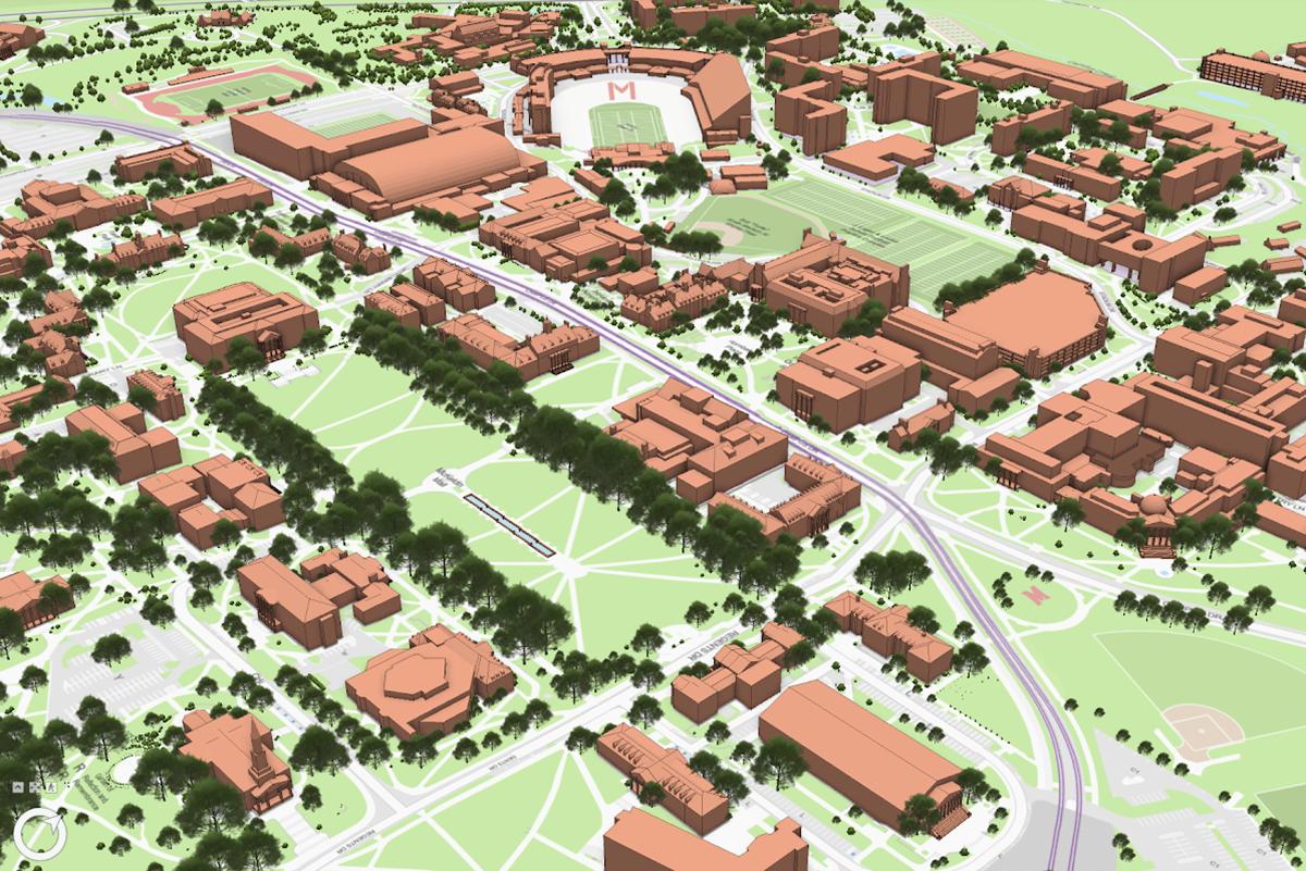
Facilities Management’s GIS Services team provides campus mapping, geospatial data, and applications that help the university community access information, visualize campus assets, and make informed decisions.
Campus GIS Hub
The Campus GIS Hub is a central resource for exploring interactive campus maps, geographic data, and mapping tools. From navigating campus and tracking construction activity to discovering gardens, historic maps, and campus tours, the hub brings a wealth of geographic information together in one convenient location. Explore the Campus GIS Hub
Services
GIS Services supports a range of campus needs, including:
- Interactive and custom maps
- GIS data and spatial analysis
- Field data collection, inventories and surveys
- Dashboards and data visualization
- Facilities, utilities and asset mapping
- Custom GIS applications and project support
UMD Campus Map
Explore buildings, parking, transportation, accessibility features, and other campus locations and services using the UMD Interactive Campus Map.
Featured Maps and Experiences
Explore some of the interactive maps and experiences created using GIS:
- University of Maryland Cherry Tree Blossoms
- UMD Ghost Tour
- Maryland's African American Historical Markers
- The McKeldin Map Collection
- UMD Arboretum Explorer
- FM Construction Activity Map
- Curated Collection of UMD Campus Tours
- Other GIS Resources
Campus GIS Internship Program
The Campus GIS Internship Program provides students with opportunities to gain hands-on experience supporting GIS projects at UMD.